Photo: Credit Line: AIP Emilio Segrè Visual Archives, Gift of Bill Woodward, USNS Kane Collection, CC0, via Wikimedia Commons
Who She Was
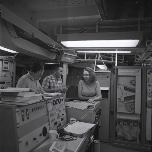
Marie Tharp was the daughter of a U.S. Department of Agriculture soil surveyor, and during World War II, when universities began recruiting women into science, she studied petroleum geology at the University of Michigan. She later took a job at Columbia University’s Lamont Geological Observatory. Because women were not yet allowed on research ships, her colleague Bruce Heezen collected depth measurements at sea while she turned them into detailed maps of the Atlantic seafloor. While plotting the long underwater mountain range down the middle of the Atlantic, she noticed a V-shaped valley running along its top, a sign that the seafloor was slowly pulling apart. Heezen first dismissed her idea as “girl talk,” since most scientists at the time did not accept that continents move, but later evidence proved her right, and in 1977 the two published a famous map of the entire world’s ocean floor.
Why She Matters
Tharp’s work showed that a geologist can read a landscape without ever standing on it, by drawing careful maps from measurements collected by others. Her maps helped convince scientists that the continents move, one of the biggest changes in how people understand the Earth. Her story also shows how much of a geologist’s job is spotting a pattern that others walk past and staying with it when people doubt it. Maps of the ocean floor still guide how scientists study earthquakes and volcanoes beneath the sea. Her career shows that careful mapping can reveal something nobody has seen before.